
Geographic Information System (GIS)
Methodology and system to capture, store, analyse and manage geographical data for your needs.
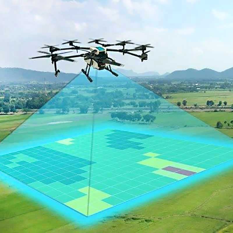
Satellite & Arterial Imagery
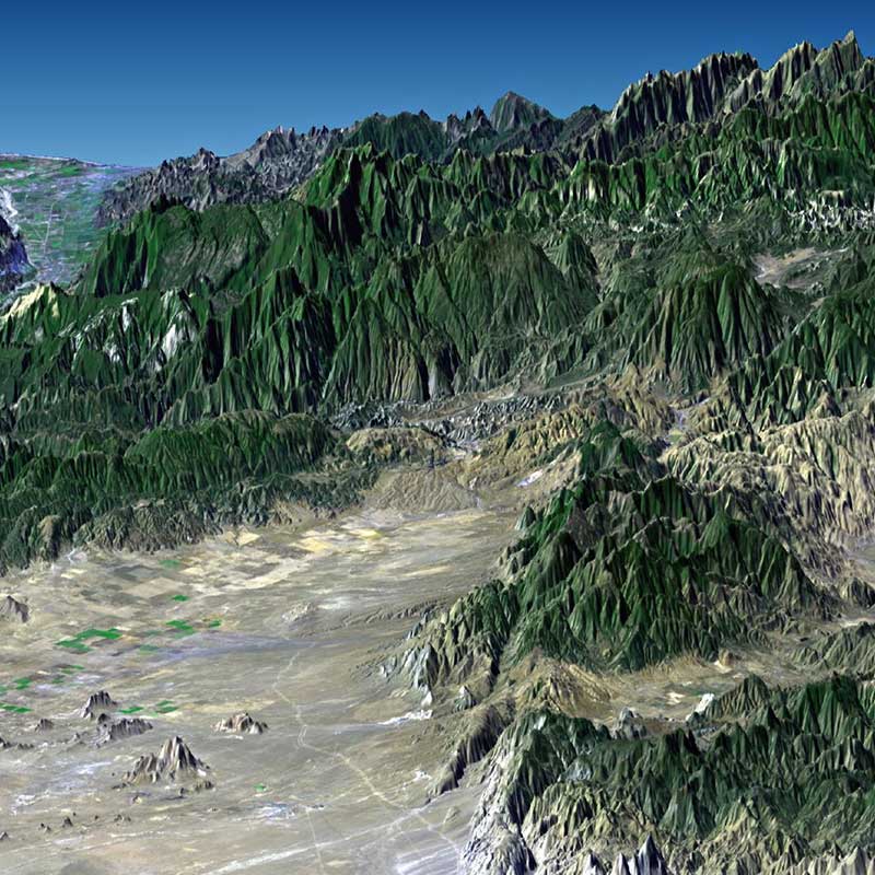
Images acquired from the satellites are accompanied with a high quantity of data which provides the ability to extract and produce information such as contour lines, elevation, slope angles, plantable and unplantable areas and 2D/3D modelling.
2D/3D Modelling
AgriNexus is able to provide spatial information such as satellite imagery, on-site land surveys, 2D and 3D digital terrain analysis and mapping.
Palm Counting
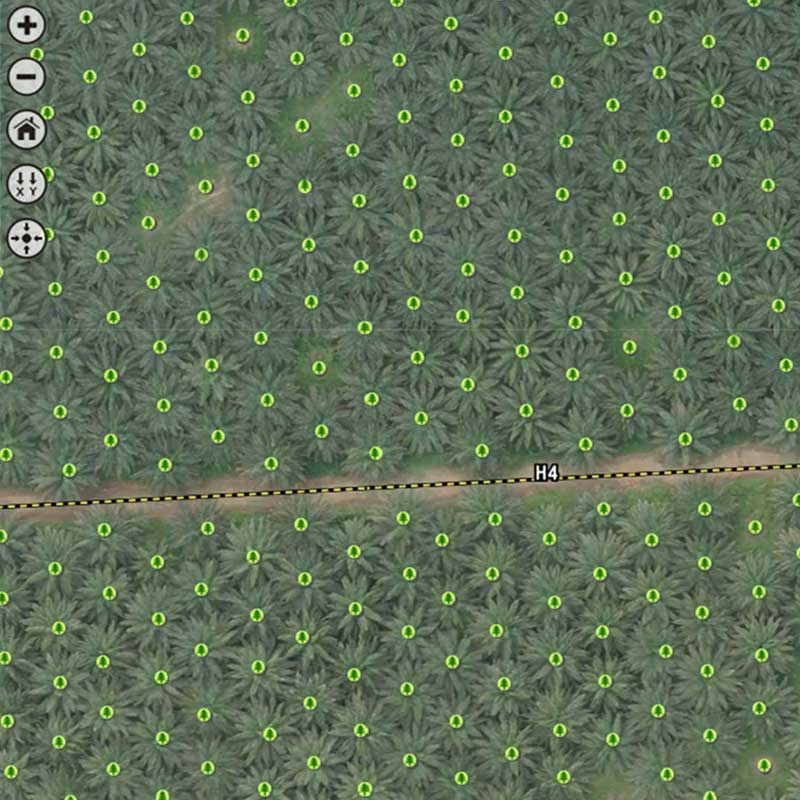
AgriNexus is able to provide high resolution imagery and advanced satellite technology services for accurate palm count as well as quantifying existing unplanted areas.
Land Survey
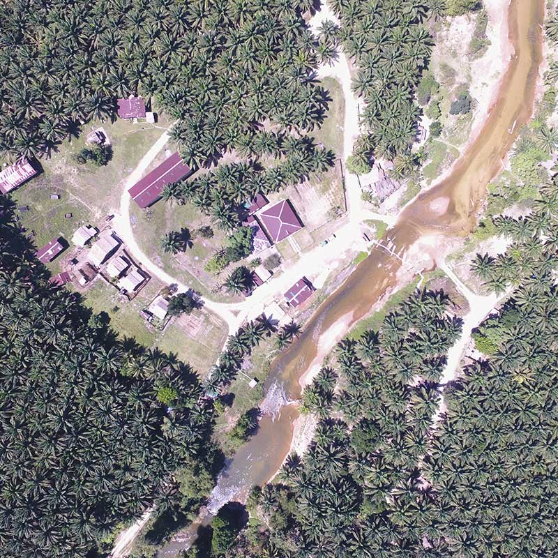
AgriNexus’ technologically advanced equipment is able to identify and confirm terrain and geo-positions. We are also able to records geo-coordinates of existing and proposed oil mills, road networks, nurseries, water resources, human settlements and any other features required for developmental decision-making process.
Office Address
Penthouse C5-7, Kuchai Exchange, No. 43, Jalan Kuchai Maju 13, 58200 Kuala Lumpur, Malaysia.