
NIUMAL MERYVN
BCom (Info. Systems)
HEAD OF GIS/IT
FORTE • GIS, Drone Survey & Digital Mapping

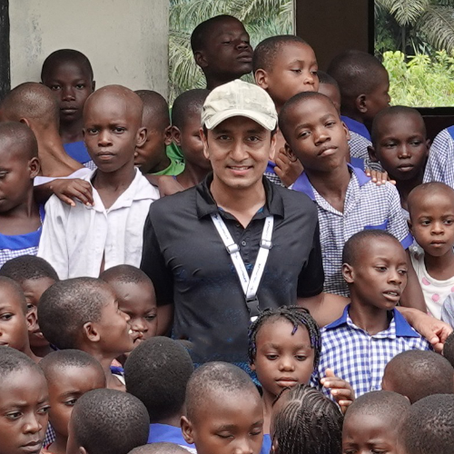
With over a decade of experience in on-site field surveying and GIS applications, Mr Mervyn has pioneered drone-based mapping solutions across diverse terrains. His expertise extends beyond data collection – he integrates advanced analytics to drive precision agriculture and large-scale land monitoring.
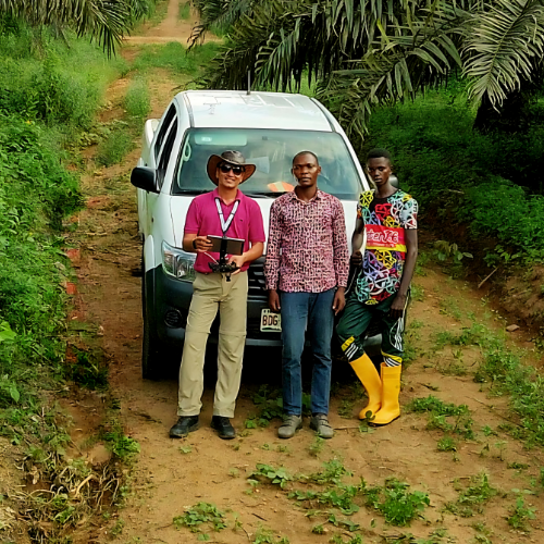
His work has spanned Malaysia, Myanmar, Nigeria and Indonesia, where he has led transformative projects that redefine plantation management. One of his most notable achievements includes a comprehensive three-month GIS and drone survey across 5,000 hectares of Oil Palm plantations in Cross River, Nigeria. This project involved high-resolution drone aerial photography, detailed mapping of planted areas, palm census analysis and seamless GIS data integration for real-time monitoring and strategic planning.
Continuing to push the boundaries of digital mapping, he recently completed drone-based aerial photography and mapping for a 17,000-hectare Oil Palm plantation in Sierra
Leone and a 15,000-hectare site in Nigeria. With a bachelor’s degree in Information Technology from Curtin University, Australia, he remains at the forefront of geospatial innovation, combining technology, strategy and field expertise to shape the future of digital mapping and sustainable resource management.
An IT maverick, armed with sharp problem-solving skills and expertise, Mr Mervyn turns technical headaches into seamless solutions, making him the go-to person for all things GIS.
With over a decade of experience in on-site field surveying and GIS applications, Mr Mervyn has pioneered drone-based mapping solutions across diverse terrains. His expertise extends beyond data collection – he integrates advanced analytics to drive precision agriculture and large-scale land monitoring.
His work has spanned Malaysia, Myanmar, Nigeria and Indonesia, where he has led transformative projects that redefine plantation management. One of his most notable achievements includes a comprehensive three-month GIS and drone survey across 5,000 hectares of Oil Palm plantations in Cross River, Nigeria. This project involved high-resolution drone aerial photography, detailed mapping of planted areas, palm census analysis and seamless GIS data integration for real-time monitoring and strategic planning.
Continuing to push the boundaries of digital mapping, he recently completed drone-based aerial photography and mapping for a 17,000-hectare Oil Palm plantation in Sierra Leone and a 15,000-hectare site in Nigeria. With a bachelor’s degree in Information Technology from Curtin University, Australia, he remains at the forefront of geospatial innovation, combining technology, strategy and field expertise to shape the future of digital mapping and sustainable resource management.
An IT maverick, armed with sharp problem-solving skills and expertise, Mr Mervyn turns technical headaches into seamless solutions, making him the go-to person for all things GIS.